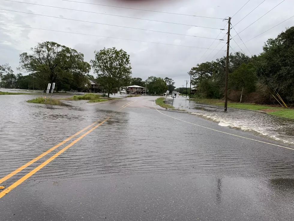
Flooding Rains Likely For South Louisiana
Category 5 Hurricane Patricia stormed ashore late Friday on the Pacific coast of Mexico. The storm has been downgraded to a tropical storm and is expected to continue to lose it's punch as it moves over the mountainous terrain of that country.
However the moisture and rainfall associated with Patricia will become a part of the South Louisiana forecast by late Saturday and continue to plague the area through Tuesday.
The National Weather Service office out of Lake Charles has issued flood watches for much of our state from the coast to as far north as Alexandria. Rainfall potential between now and Tuesday could exceed 6 inches along and generally south of I-10. Some local amounts could be even higher.
The current weather radar scan from Lake Charles shows activity is beginning to stream up out of the Gulf of Mexico in bands that are moving from south to north. Many of these bands are situated south to north as well that means a potential for "training". That is where a storm system moves over the same area for a long period of time. That usually means flooding.
While Patricia is certainly worthy of the headlines it is not the only player in this expected deluge. An approaching frontal system will be approaching the area from the northwest and another low pressure system will be moving up the South Texas coastline toward Louisiana.
This combination of abundant moisture and instability in the atmosphere will make Sunday a great day to spend inside. But you will want to stay close to local radio and television for information regarding the potential flooding in your area.
More From Gator 99.5