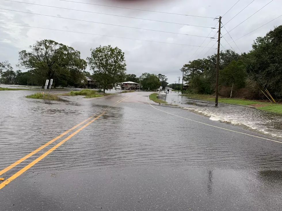
Louisiana Is Sinking
The old joke is that if you want to know if you're in a low lying area just check your driver's license, if it says Louisiana, you're in a low lying area. Now there comes word that we might be sinking lower. Granted this is not an imminent situation the kind of which Hollywood disaster movies are made, this is more of the not going to happen in our lifetime or any time soon after that.
Recent information released by LSU, UCLA, and NASA suggests that the area of the state that is sinking the fastest is the area in and around New Orleans. According the report that part of the state is sinking a little bit every year.
There are a bunch of reasons that it could be, groundwater withdrawal, other kind of fluid withdrawal, and things like surface dewatering.
That's what lead scientist on the project Dr. Cathleen Jones told the Louisiana Radio Network.
She said the study used hot spot radar to determine which areas were sinking the fastest. She says the areas around Michoud and Norco are getting lower by two inches per year. Jones suggests that this information would be very useful in planning flood strategies, levee management and even evacuation routes.
If you want to raise your levees or make sure you monitor them really well, know where you might have overtopping. This kind of information could tell you where you need to focus.
The study was conducted over a four year period from 2009 to 2013.
More From Gator 99.5


