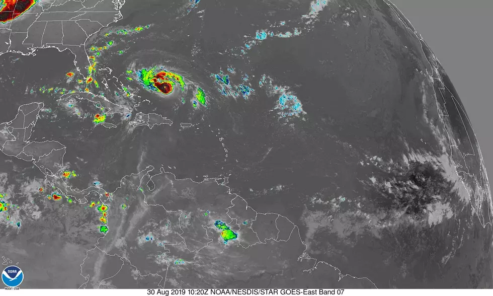
TD 9 Poised To Become Tropical Storm In The Gulf
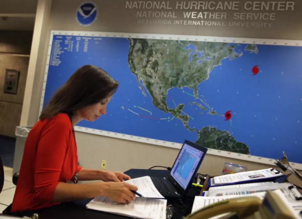
The latest observations on Tropical Depression 9 currently spinning in the southeast Gulf of Mexico seems to indicate the storm will strengthen to become a tropical storm. Forecasters with the National Hurricane Center project the system will become a named storm at some point during the day today. That is the bad news.
The good news, at least for interest along the Louisiana coast is that the storm appears to be on a course that would carry it away from our state. What's good for one is not always good for another. The projected track of the system should affect the Florida coastline with a Thursday landfall between Panama City and Tampa Bay.
Here is what the Hurricane Center reported during the 4 AM update:
LOCATION...23.8N 86.6W
ABOUT 305 MI...495 KM W OF KEY WEST FLORIDA
ABOUT 270 MI...435 KM W OF HAVANA CUBA
MAXIMUM SUSTAINED WINDS...35 MPH...55 KM/H
PRESENT MOVEMENT...W OR 275 DEGREES AT 7 MPH...11 KM/H
MINIMUM CENTRAL PRESSURE...1003 MB...29.62 INCHES
Forecasters are beginning to feel more confident in the track forecast as most of the reliable tracking models are now in agreement on where the storm is likely to go. Most of the intensity models do keep the system below hurricane strength before its projected landfall on Thursday.
More From Gator 99.5