SWLA And Lake Charles Now Under Weather Advisories and Warnings
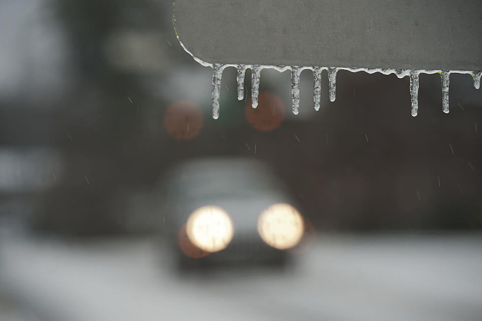
All of Southwest Louisiana and the five parish area have been knowing for a couple of days now that we were expecting to get some fridged temperatures and a possible freeze. That day has now come and the forecast for the next couple of days is just that, cold.
The National Weather Service has issued a couple of advisories and a warning for our area. The forecast for today, Monday, January 15th is,
A chance of rain or freezing rain, mainly between noon and 4pm. Cloudy, with a high near 38. North wind 10 to 15 mph, with gusts as high as 25 mph. Chance of precipitation is 30%.
Tonight, Mostly cloudy, with a low around 23. Windy, with a north wind 15 to 25 mph, with gusts as high as 35 mph.
--National Weather Service
So it looks like starting today after lunch, we could get some rain along with some possible freezing rain or sleet in the area. The problem with getting rain or sleet is the roads will get wet and once the sun goes down and if the roads are still wet, we may see ice form on the roadways.
We received reports that the DOTD is already planning on sending out trucks to start dropping salt on bridges and overpasses in the area.
Then on Tuesday, January 16th the forecast is not for rain but more cold temperatures and windy conditions.
Tuesday, Partly sunny, then gradually becoming sunny, with a high near 38. North wind 15 to 20 mph, with gusts as high as 30 mph.
Tuesday night, Mostly clear, with a low around 20. North wind 5 to 15 mph, with gusts as high as 20 mph.
--National Weather Service
Currently, we are under a Winter Weather Advisory and a Wind Chill Advisory. Plus we are under a Hard Freeze Warning. Take care of your pipes, people, pets, and plants, and keep it here for the latest updates.
Louisiana's Worst Hurricanes
More From Gator 99.5