NHC 10:00am Hurricane Laura Update
Forecasters are saying Laura could reach Category 4 strength before making landfall and then drop back to a Category 3 when it slams against the coast.
According to the Saffir-Simpson Hurricane Wind Scale:
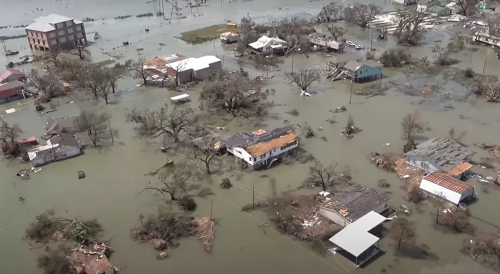
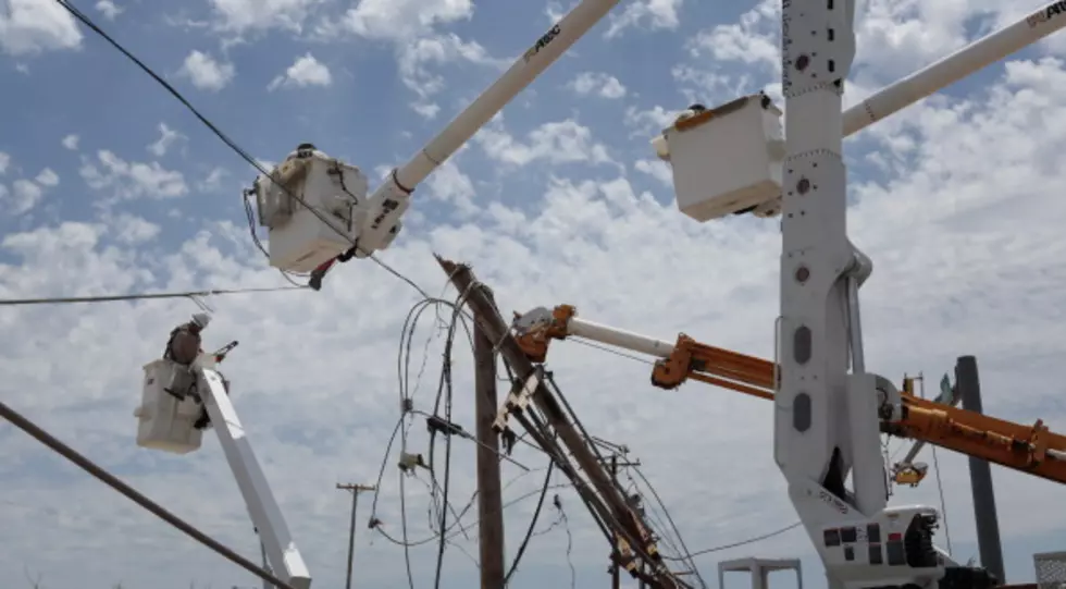
- Category 3 Hurricane - 111 mph to 129 mph. Devastating damage will occur: Well-built framed homes may incur major damage or removal of roof decking and gable ends. Many trees will be snapped or uprooted, blocking numerous roads. Electricity and water will be unavailable for several days to weeks after the storm passes.
- Category 4 Hurricane - 130 mph to 156 mph. Catastrophic damage will occur: Well-built framed homes can sustain severe damage with loss of most of the roof structure and/or some exterior walls. Most trees will be snapped or uprooted and power poles downed. Fallen trees and power poles will isolate residential areas. Power outages will last weeks to possibly months. Most of the area will be uninhabitable for weeks or months.
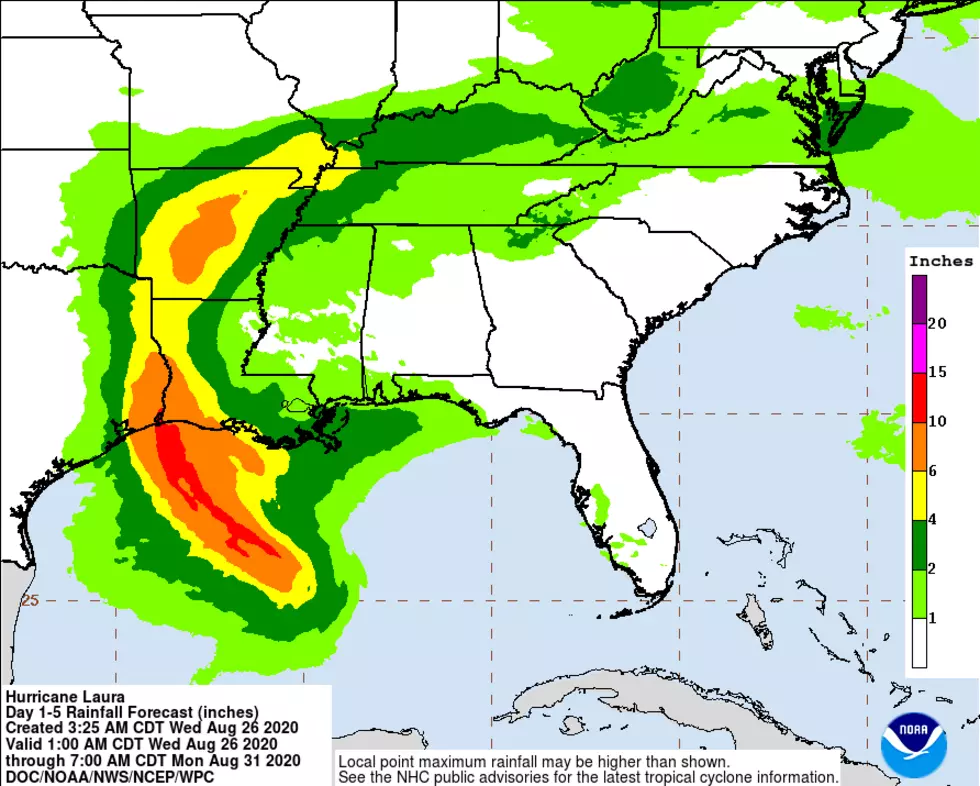
Hurricane Laura is moving NW at 16 mph with 125 mph maximum sustained winds.
The storm is forecast to make landfall at 1:00am tomorrow morning, with the most dangerous part of the storm, the upper-right quadrant and the eye wall, tracking right for SWLA.
If you're hunkering down for Laura, stay safe and our thoughts are with you and your family.
We will be here before, during, and after the storm. Download our free mobile app, keep updated with our website and Facebook page, and tune into us on your radio for all the information you need on landfall and recovery.

Louisiana's Worst Hurricanes
More From Gator 99.5