South Louisiana Should Expect Excessive Rainfall This Weekend
Residents of South Louisiana are bracing for a Labor Day holiday weekend that could include heavy downpours, flash flooding, and another excessive rainfall event. Forecasters with the Weather Prediction Center are suggesting that portions of south and western Louisiana could be under the gun for heavy rains as early as Saturday morning and extending through at least Labor Day Monday.
The WPC's Excessive Rainfall Outlook for today, September 2nd suggests that the area of the state that will be under the greatest threat of heavy downpours will be the western half. Basically, the area from Shreveport down to Lake Charles and as far east as Lafayette and Monroe could see showers and storms dump a lot of rainfall in a short amount of time.
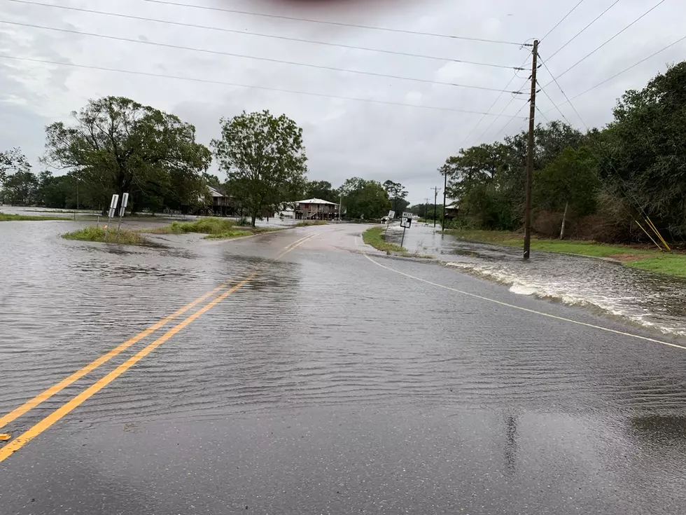
Just to clarify what is meant by "Excessive Rainfall", the weather service defines that in layman's terms as when an area receives more rain in a given amount of time that can be drained away. The more scientific definition is right here but basically, it means it rained too hard too fast and now the streets are full of rainwater.
As you can see in the graphic above, that's the outlook for September 2nd, most of Louisiana is in the "marginal risk" zone for that kind of downpour to occur but if you look at the WPC graphics for the coming days, you can see the threat never really goes away. In fact, more of the state is placed under the "marginal risk". Here is the outlook for Saturday.
By Sunday forecasters with the Weather Prediction Center believe almost all of South Louisiana will be under a greater threat of excessive rainfall. You can see in the WPC graphic below that the threat risk has been elevated to "slight". Here is Sunday's outlook.
Now, this doesn't mean the holiday weekend will be a total washout nor does it mean that it will be raining the entire time. Showers and thunderstorms will be numerous across the area but there won't be constant rainfall. You'll just want to make sure you have our station App Alerts turned on for Breaking News or Weather so you'll have first-hand weather information, including road issues, delivered directly to your phone.

The reason for the elevated rain threat is a frontal boundary and trough of low pressure that is forecast to move over the area or close to it and then stall. That instability in the atmosphere combined with an overabundance of tropical moisture from the Gulf of Mexico should keep rain chances at better than 50/50 for most of the weekend.
Unfortunately higher than normal rainfall probabilities will remain in the area through much of next week. But if there is a silver lining to those clouds and showers it would be this, it should keep our afternoon high temperatures out of the 90s for a few days. Hey, you look for good news where you can find it, right?
Meanwhile, if you find yourself with some extra inside time over the weekend, you might want to consider watching a movie. Speaking of movies, how many of these films are you familiar with?
10 Amazing Movies That Started Filming Without A Completed Script
Gallery Credit: Claire Epting
More From Gator 99.5

