Tropical Storm Cindy is still tracking to make landfall between Beaumont and Lake Charles.  Which means Lake Charles will get the full brunt of the strongest eastern side of the storm.  TS Cindy has taken a lop-sided shape due to fighting with a high pressure system at the top of the Gulf.  This battle has created a more dominate eastern side, which is terrible news not only for Lake Charles but New Orleans as well.  The cities on the eastern side of TS Cindy will see the most potent wind and rain.

Currently she is moving NW at 9 mph, winds are still sustained at 50 mph and should make landfall here on the coast around 5 to 6 am tomorrow morning and making her way to Lake Charles around 7 am.  We should start feeling Tropical Storm winds around 5pm leading up to landfall.

From now until landfall there's a 40% higher chance that SWLA will see Tornado activity being spun out by Tropical Storm Cindy.

Be safe and do not put you or your loved ones in dangers way, play it safe and stay indoors.

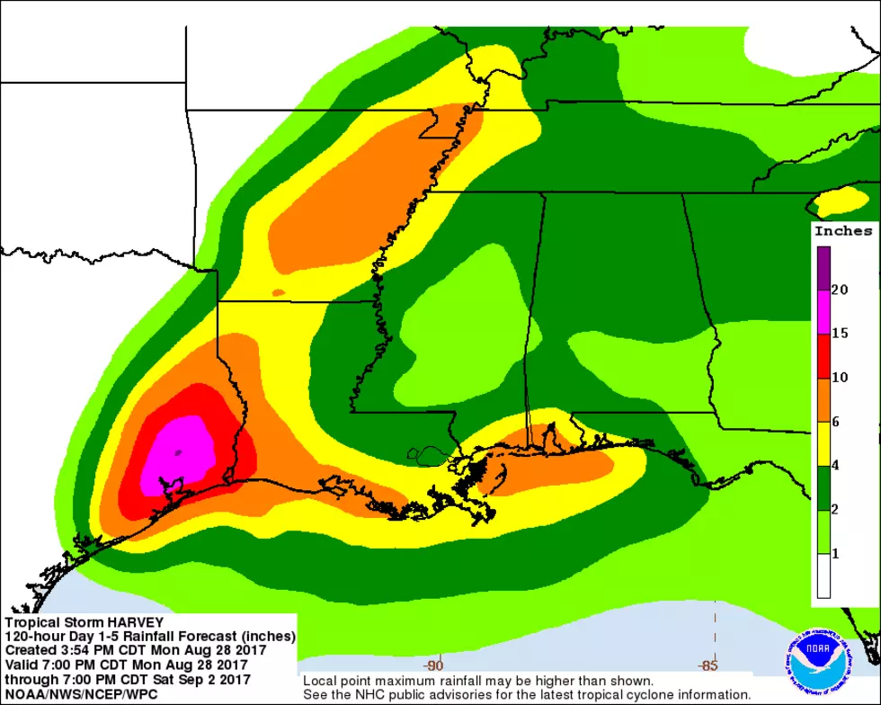
Here's the forecast from the Nation Weather Service for the next few days:

This Afternoon
Tropical storm conditions possible. Showers and possibly a thunderstorm. High near 82. Northeast wind 30 to 35 mph, with gusts as high as 45 mph. Chance of precipitation is 100%. New rainfall amounts between a quarter and half of an inch possible.
Tonight
Tropical storm conditions expected. Showers and possibly a thunderstorm. Low around 77. East wind 30 to 40 mph, with gusts as high as 55 mph. Chance of precipitation is 100%. New rainfall amounts between 1 and 2 inches possible.
Thursday
Tropical storm conditions expected. Showers and possibly a thunderstorm. High near 85. Heat index values as high as 97. Southeast wind 30 to 40 mph becoming southwest 25 to 30 mph. Winds could gust as high as 55 mph. Chance of precipitation is 90%. New rainfall amounts between a half and three quarters of an inch possible.
Thursday Night
Showers likely and possibly a thunderstorm before 8pm, then a chance of showers and thunderstorms between 8pm and 2am, then showers likely and possibly a thunderstorm after 2am. Mostly cloudy, with a low around 78. South wind 10 to 20 mph, with gusts as high as 25 mph. Chance of precipitation is 60%.
Friday
Showers likely and possibly a thunderstorm. Mostly cloudy, with a high near 87. Southwest wind 10 to 15 mph, with gusts as high as 20 mph. Chance of precipitation is 60%.
Friday Night
Showers likely and possibly a thunderstorm before 8pm, then a chance of showers and thunderstorms after 8pm. Mostly cloudy, with a low around 78. South wind 5 to 15 mph. Chance of precipitation is 60%.
Saturday
A 50 percent chance of showers and thunderstorms. Mostly cloudy, with a high near 88. Southeast wind around 5 mph becoming southwest in the afternoon.
Saturday Night
A 50 percent chance of showers and thunderstorms. Mostly cloudy, with a low around 76. East wind around 5 mph.

More From Gator 99.5