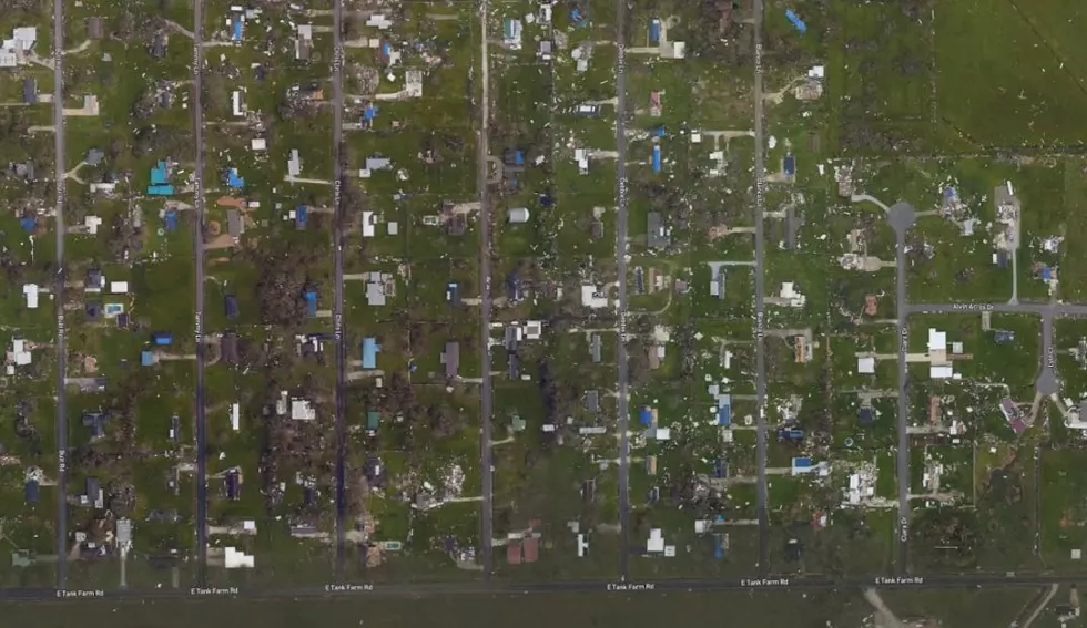
Aerial Pictures of Southwest Louisiana Before & After Hurricane Laura
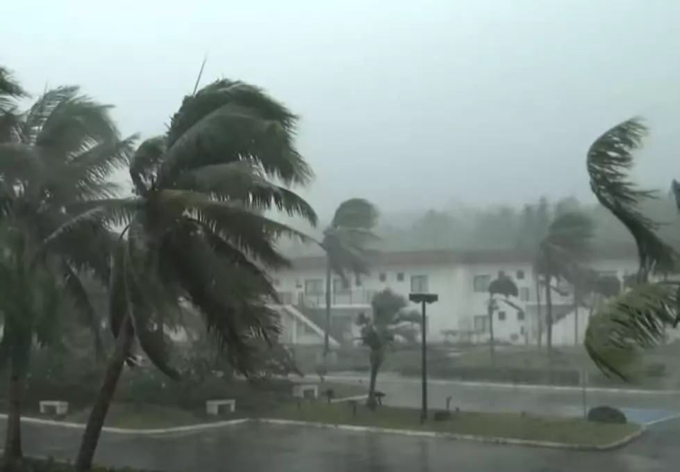
It's now been close to a week since Hurricane Laura barreled through southwest Louisiana and up through central and northern parts of the state leaving a path of destruction behind.
The damage has been catastrophic and the fact that over a quarter of a million homes are still without power should prove how bad things remain as we try to recover.
By now, many of you have seen tons of pictures and videos that illustrate the magnitude of destruction, but to truly grasp the level of infliction Hurricane Laura unleashed, one needs only look at aerial shots of southwest Louisiana.
The National Geodetic Survey (NGS) collected aerial assessment images in the aftermath of Hurricane Laura from August 27-31. These images were collected in coordination with FEMA and other state and federal partners.
To see the composite of aerial view images, visit OceanService.NOAA.gov.
We've also aggregated a few before and after shots from the Lake Charles area and they're shown below.
Before & After Aerial Pictures of Hurricane Laura Damage in SWLA
More From Gator 99.5