Lake Charles Braces For The Worst TS Cindy Has To Offer
As the rain and wind has begun in Lake Charles, it's only the beginning. We are bracing for the worst that Tropical Storm Cindy has to offer. The eastern side of the storm is her strongest and it holds the highest winds and most drenching rains.
What more do I have to say, the Weather Channel's Jim Cantore is on his way as we speak to Lake Charles. You know he's going to post up where the worst of the storm is going to be...well, that's us Lake Charles.
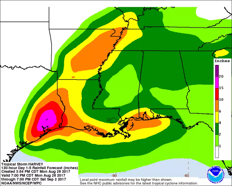
TS Cindy has been battling a high pressure system at the top of the Gulf which has made the storm take a lop-sided form. That spells bad news for Lake Charles and SWLA. You will notice the dark purple in the graphic above, that signifies the highest probability for Tropical Storm force winds. If you track the storm onto land from this graphic, you will see Lake Charles is right in the most immediate eastern side of the eye of circulation.
Currently she has winds that are sustained at 50 mph with flooding being the main concern of most experts. Please play it safe tonight and stay indoors.
CLICK HERE for the 4 pm National Hurricane Center Update.
CLICK HERE for a list of things to do before TS Cindy hits SWLA.
CLICK HERE for a suggested supply list preparing for TS Cindy.
More From Gator 99.5


![Video Shows Levee Overtopping In Plaquemines Parish [WATCH]](http://townsquare.media/site/34/files/2019/07/GettyImages-840616746.jpg?w=980&q=75)


