Strong Storms Return to Louisiana on Friday, Could Affect Weekend
As of December 1st, the Earth entered what is known as meteorological winter. That's just a fancy way for weather guessers to say, we are entering into the coldest months of our calendar year. Now, the calendar on your wall says the winter solstice won't happen until Tuesday, December 21st. I tell you all of this because if you stepped outside anywhere in South Louisiana today you wouldn't believe me if I told you it was winter or even late fall.
Afternoon temperatures along and south of I-10 today could once again reach 80 degrees. No, it's not the winter we'd expect to see in a Thomas Kinkade painting but then again even the "painter of light" would have trouble making the muggy conditions we'll experience today seem even remotely like a holiday setting.
Here's what is going on with our weather.

The cold front that brought the rain and storms to the area earlier this week is drifting back to the north as a warm front this morning. That means that as the day wears on you'll notice more humidity and warmer temperatures across the region. No, I don't think it will be dank enough for the concrete to sweat but just about everything else will be.
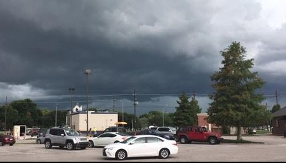
By later this afternoon we should have enough moisture and instability in the atmosphere to kick up a few showers. They shouldn't be heavy and they shouldn't last long. Things will calm down in the overnight hours too. But Friday into Friday night and Saturday could be an entirely different story.

An approaching frontal system will interact with the abundant moisture across the region to bring at least a marginal threat of severe storms to the area by late in the day Friday and especially Friday night. It does appear as though the most significant severe weather threat will be in northern and central Louisiana with a slight risk of severe weather for cities like Shreveport, Monroe, Ruston, and Alexandria.

Along I-10 our greatest threat for storms will likely come between 9 pm Friday night and 6 am Saturday morning. At least that is the way the forecast timing is breaking down right now.
For those with holiday plans on Saturday, the later in the day they are the more likely that weather won't be a factor. Hold on, the more likely wet weather won't be a factor. Temperatures will be cooling off quickly on Saturday after the cold front moves through.

So, while Friday's high temperature is expected to top 80 degrees, Saturday's high will likely happen in the morning hours and temperatures will be falling with the help of a gusty north wind throughout most of the day. So, if you do have plans to be outside on Saturday afternoon or evening, make sure you have a jacket to knock the edge off of those falling temperatures and gusty breezes.
Skies should eventually clear in the overnight hours of Saturday and by Sunday skies will once again be clear and it will feel a lot more like Christmas with an afternoon high expected to only reach the lower 60s.
10 Louisiana Laws You Don't Know You're Breaking
Gallery Credit: Jude Walker
More From Gator 99.5