Tropical Update – Watching The SW Gulf Of Mexico
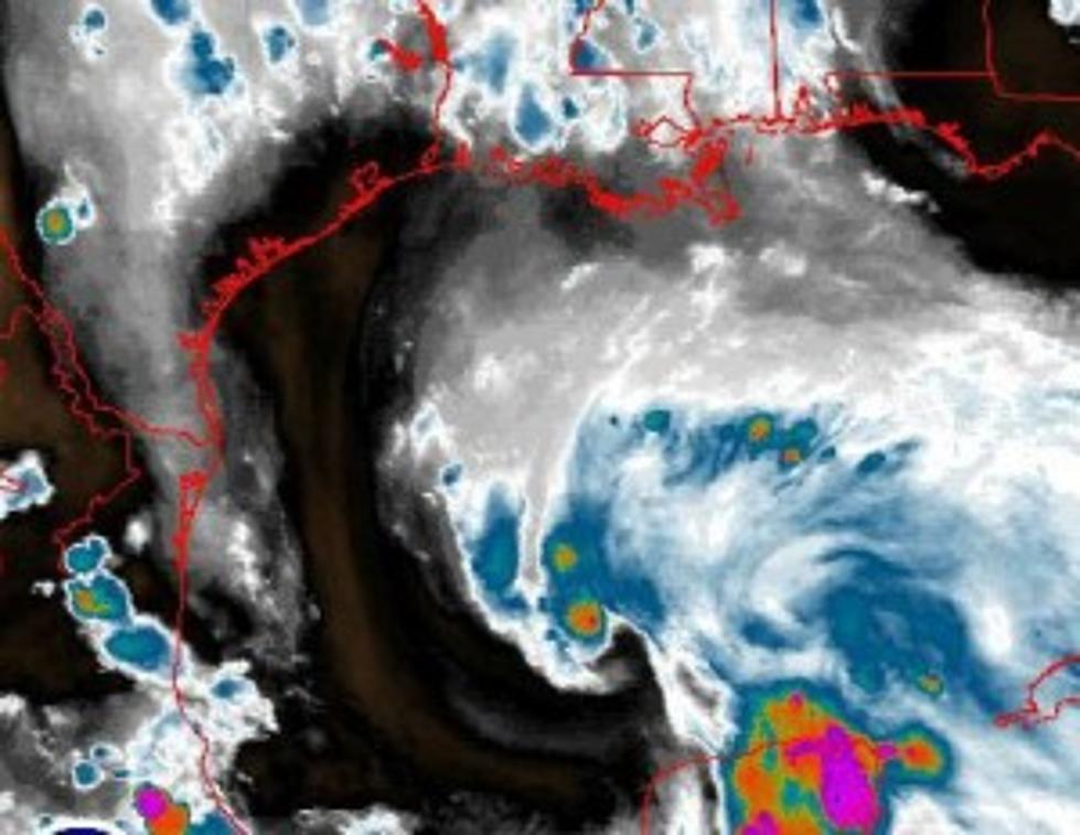
Forecasters at the National Hurricane Center are keeping very close tabs on a broad area of low pressure and associated thunderstorms that is now over the open and very warm waters of the Southwest Gulf of Mexico.
This is the same system that has steadily moved northwestward from the just off the coast of Belize in the western Caribbean Sea to its present location which is about 500 miles due south of Lafayette, Louisiana.
The center of circulation of this system remains very broad, not specifically defined and most of the convection or thunderstorm activity is well off the north and east of the center of circulation. That does not bode well for the Louisiana coastline, as the system could spark heavy rain and an onshore wind flow that might be the catalyst for some coastal flooding.
Another Hurricane Hunter aircraft is scheduled to fly into the system early this morning. The last reconnaissance flight did show tropical storm force winds in the northern and eastern sections of the system. Hurricane Hunters did not find the closed area of circulation needed to designate the system a tropical depression or tropical storm. The area of circulation around the system was rather broad and quite ragged. Incidentally, if this system does earn a name it will be called Bill.
The tropical models continue to be rather tightly bunched and targeted toward the Central Texas coast. However, where the center of this particular system crosses the coast will not be as big of a concern as where the heavy rains cross the coast. Unfortunately, it looks as if the Houston area and coastal Louisiana could see the brunt of the heavier rainfall beginning late Tuesday into Wednesday.
More From Gator 99.5