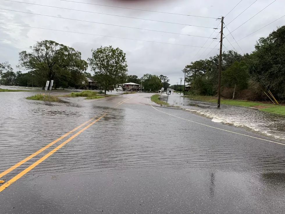
Heavy Rains Bringing Flood Threat Into Central & Southern Louisiana Today
You don't have to tell anyone in the Shreveport/ Bossier vicinity about the rain this week. Residents of that part of the state have gotten almost a month's worth in just a couple of days. This deluge has created issues with flooding in and around the area and it's not over yet.
In fact the stubborn slow moving low pressure system that has been funneling moist Gulf of Mexico air over Louisiana the past few days is still stuck in basically the same place. However, the flooding rains associated with this system will begin to spread south and east over the day today. That has prompted flood watches, warnings, school closings, and cancellations of events in several parts of the state.
State Climatologist Barry Keim,
We’re looking at rain totals between four to ten inches that are still possible, on top of what’s already fallen. The worst of this is expected more in the southeastern part of the state.
Keim, who was quoted in a story from the Louisiana Radio Network, is suggesting that heavy rain and flooding is only part of the weather danger for the state over the next couple of days.
...we still have the risk for severe thunderstorms, some damaging winds, and while tornadoes haven’t been a big deal, there is still some possibility we could see a tornado or two.
The Storm Prediction Center has listed the probability of severe weather across the state as marginal for the next 24 hours.
Forecaster believe the low pressure and trailing frontal system will eventually move east of the state during the day on Saturday. This should allow for sunny skies to return to the area by the first of next week.
More From Gator 99.5